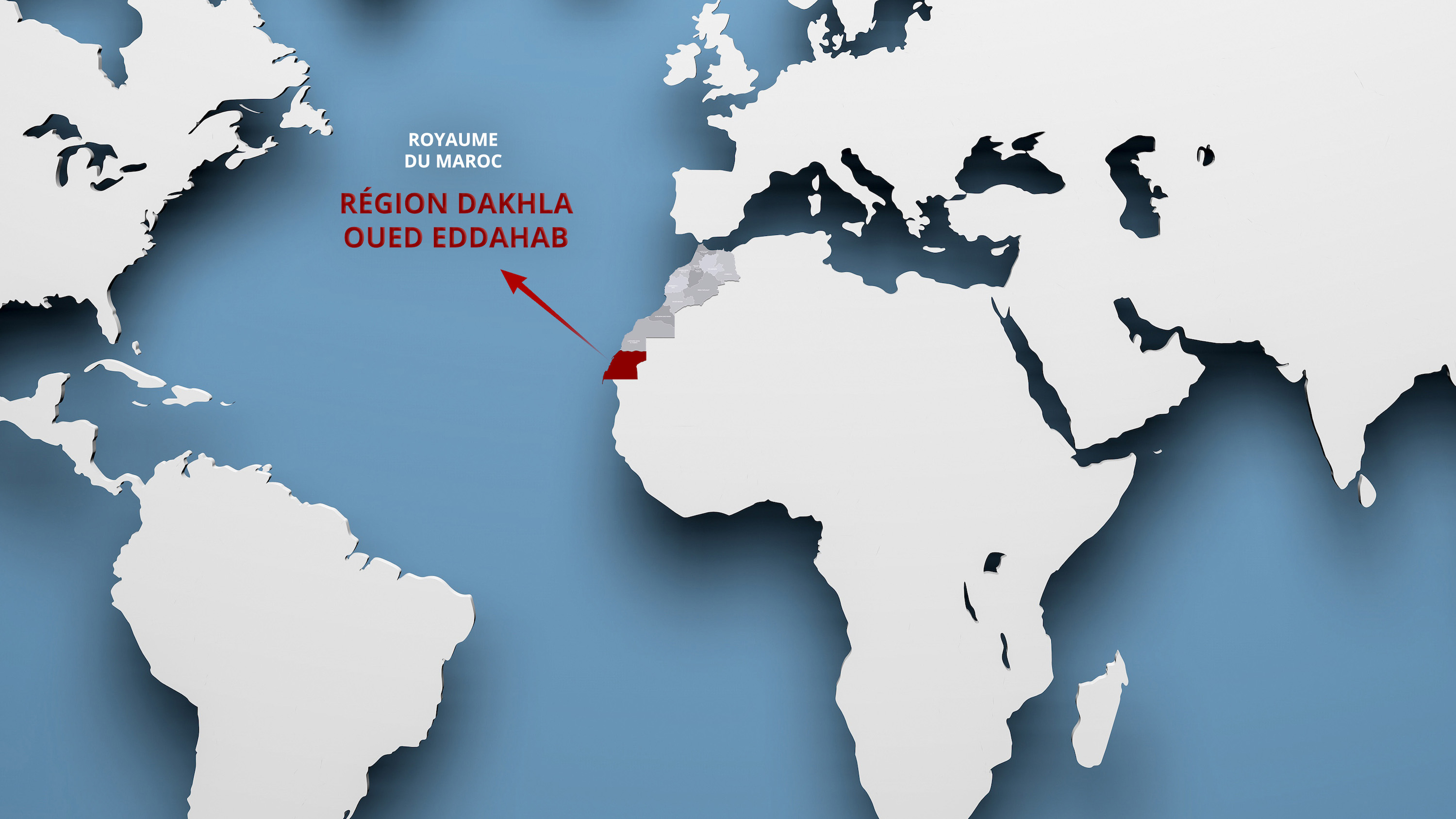
Geographic location
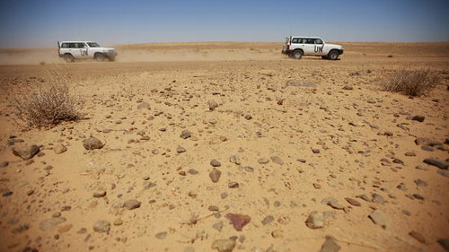
The Dakhla Oued Eddahab region is located in the extreme south of the country on the borders of Mauritania. Such a position gives it the role of pivot and exchange platform between Morocco and Europe via the Atlantic Ocean on the one hand, and between Morocco and sub-Saharan Africa via Mauritania on the other hand..

“I think objectively that for investors who want to tackle the sub-Saharan market, Dakhla is undoubtedly the best location, in particular thanks to its infrastructure..
Due to its geographical location, the region benefits from an inexhaustible, stable and continuous resource: the wind.
Estime Mounir Houari, the Director General of the Regional Investment Center (CRI) of the Dakhla Oued Eddahab region.
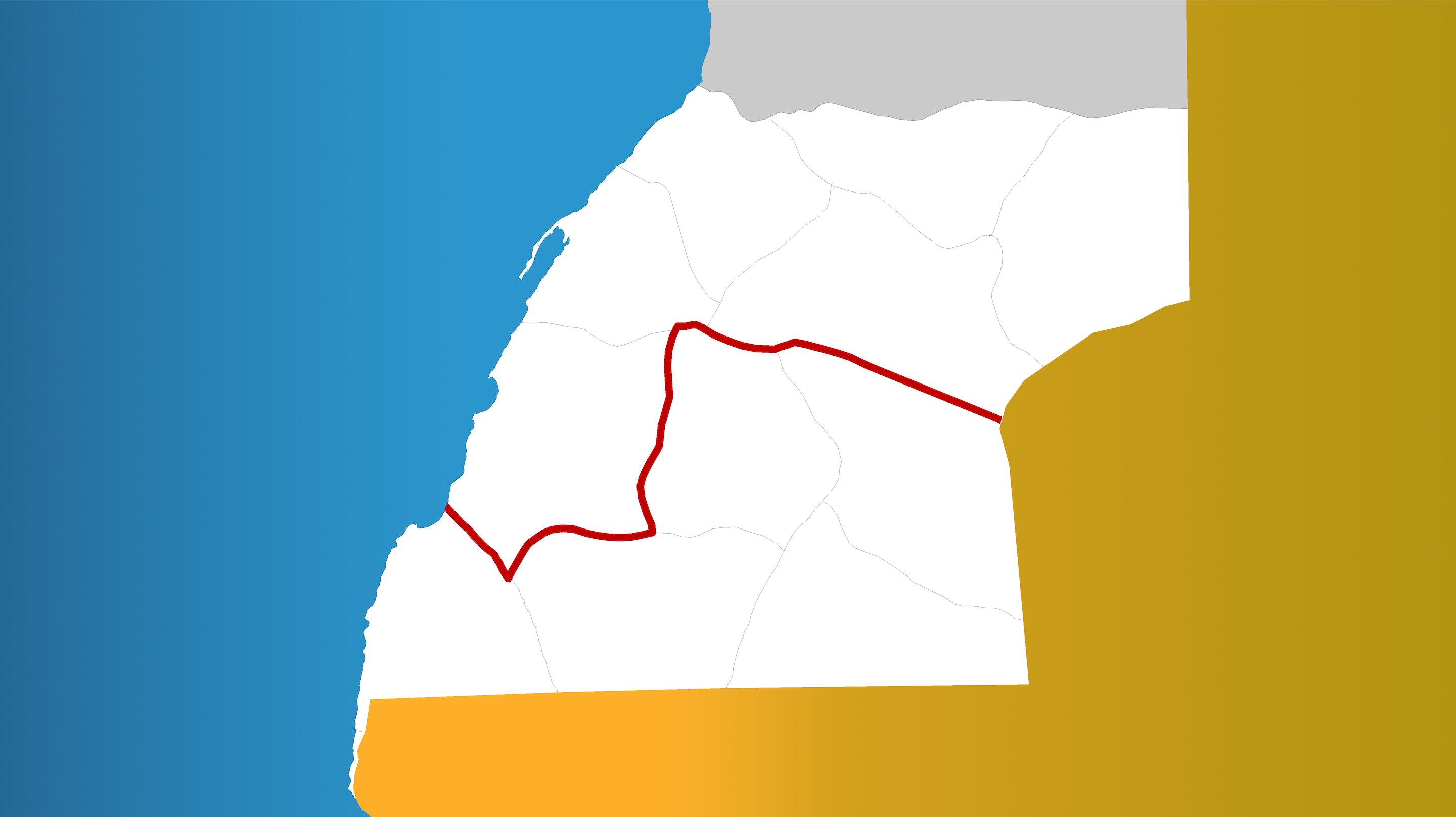
Administrative profile
The region is made up of two provinces (Oued Eddahab, Aousserd)
and includes 13 communes (2 urban communes and 11 rural communes)
Click on a commune to display its information.
- More
-
More
Aousserd
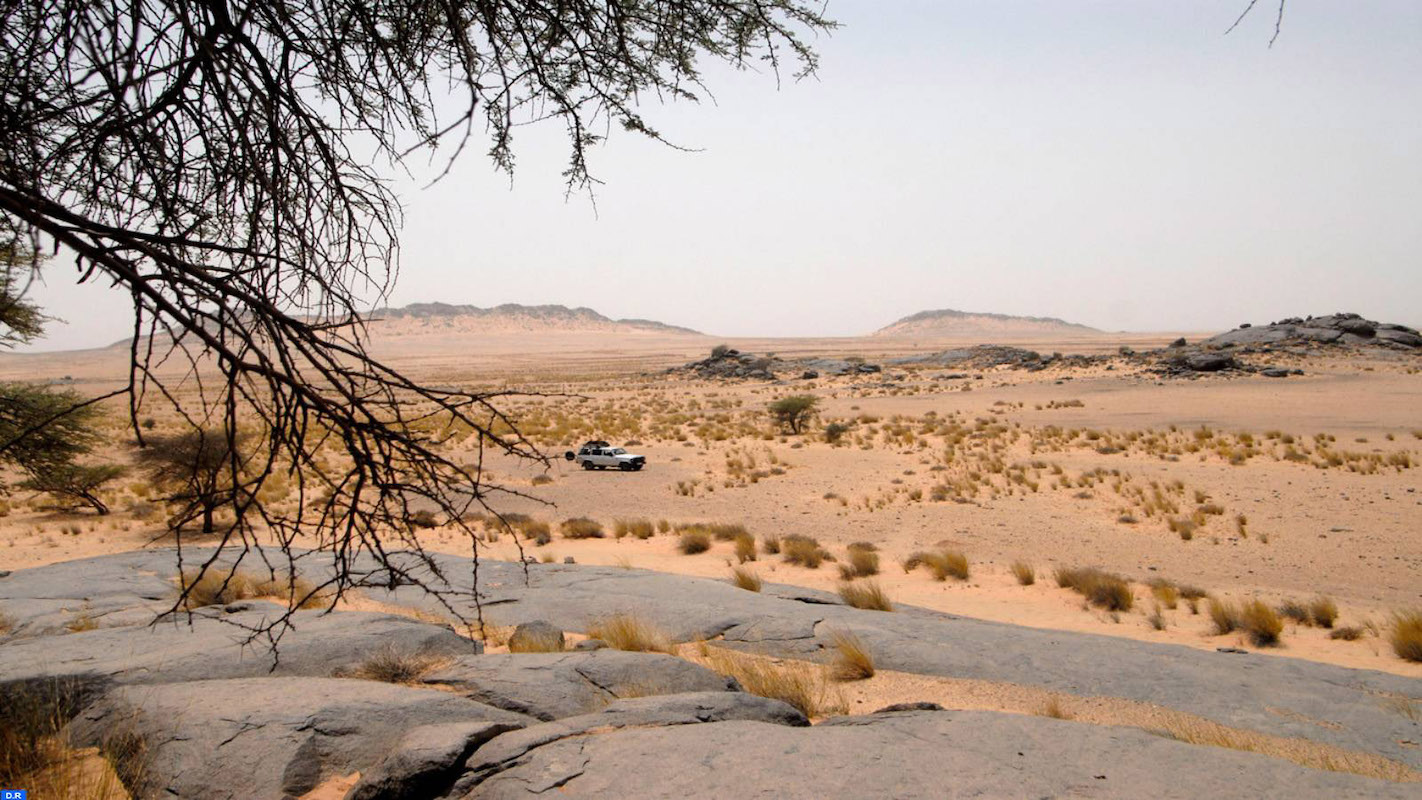
about 350 km from the city of Dakhla.
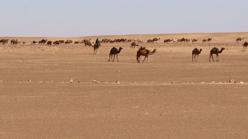
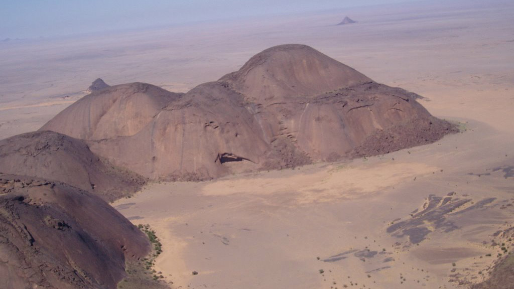
The Aousserd region has many sites of rock engravings:
- • Bu Lariah
- • Gleibat Ensur
- • Gleibat el Musdar
- • Mâatallah
- • Lajwad
- • Adrar Soutouf
Source: wikipedia
Close -
More
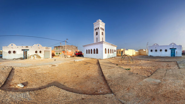
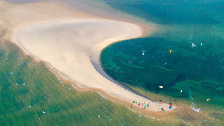
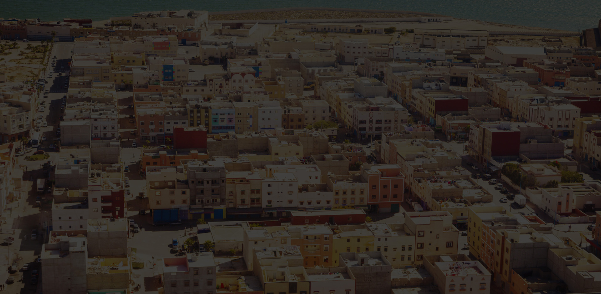
Dakhla (Mun.)
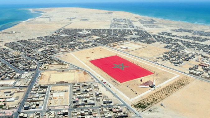
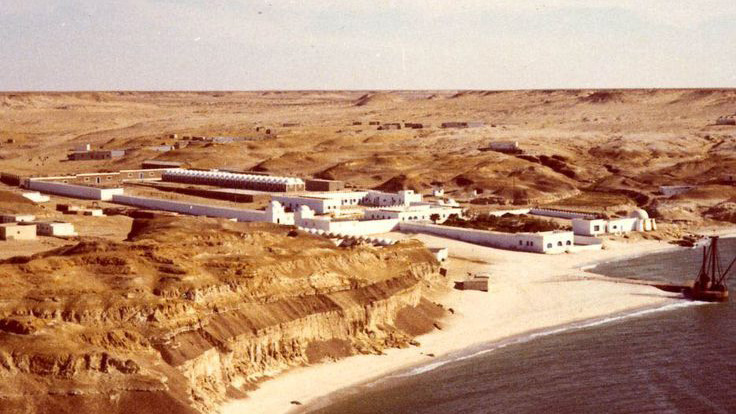
Located on the shores of the Atlantic Ocean, it is the capital of the province of Oued Eddahab, within the Dakhla-Oued Eddahab region..
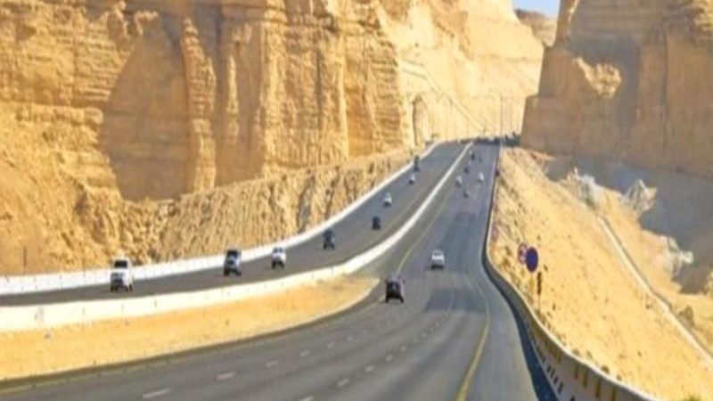
Dakhla is located 650 km south of Laâyoune, and 1,690 km south of Rabat, on a narrow peninsula, which extends for about 40 km parallel to the Atlantic coast, in a northeast-southwest direction.
Dakhla is known for its tourist assets and ranked since 2014 as the top water sports spot on a global scale.
Source: wikipedia
Close -
More
Bir Anzarane
Bir Anzarane is located about 150 km east of Dakhla
Bir Anzarane has a hot desert climate.
The average annual temperature is 21.9°C. The average annual rainfall is 39 mm.
Source: wikipedia
Close - More
-
More
Oum Dreyga
Oum Dreyga is located about 280 km east of Dakhla
Oum Dreyga has a hot desert climate.
The average annual temperature is 23.1°C3. The average annual rainfall is 40 mm
Source: wikipedia
Close -
More
Bir Anzarane
Bir Anzarane is located about 150 km east of Dakhla Bir Anzarane has a hot desert climate.
The average annual temperature is 21.9°C3.
The average annual rainfall is 39 mm.
Source: wikipedia
Close -
More
El Argoub
Located a few kilometers from the city of Dakhla.
El Argoub has a hot desert climate.
The average annual temperature is 20.4°C. The average annual rainfall is 38 mm.
Source: wikipedia
Close -
More
Gleibat El Foula
Gleibat El Foula is located about 150 km east of Dakhla.
Gleibat El Foula has a hot desert climate.
Source: wikipedia
Close -
More
El Argoub
Located a few kilometers from the city of Dakhla.
El Argoub has a hot desert climate.
The average annual temperature is 20.4°C. The average annual rainfall is 38 mm.
Source: wikipedia
Close -
More
Mijik
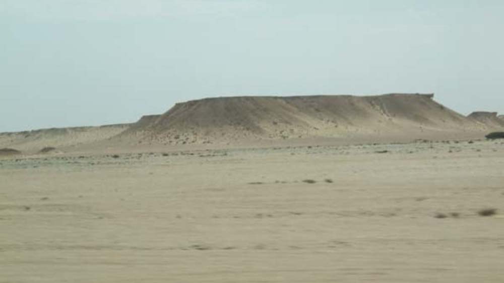
Mijik is a region located in the southern half of the Moroccan Sahara, in the Dakhla-Oued Ed-Dahab region.
Source: wikipedia
Close -
More
Imlili
Imlili has a hot desert climate.
The average annual temperature is 20.7°C. The average annual rainfall is 37 mm.
Source: wikipedia
Close -
More
Bir Gandouz
The commune of Bir Gandouz is located in the south-west of the province of Aousserd, in an area of nomadism. It is made up of several localities, the main ones being Bir Gandouz, Guerguerat, Lamhiriz, Imoutlane and Aïn Bida.
It is bordered by:
- • The municipality of Imlili in the north
- • The commune of Tichla to the east
- • The municipality of Lagouira and Mauritania to the south
- • The Atlantic Ocean to the west
Source: wikipedia
Close -
More
Tichla
At the gates of Mauritania, the town of Tichla has an average altitude of 280 m.
A provincial road of 83 km connects Tichla to Aousserd.
Source: wikipedia
Close -
More
Lagouira (Mun.)
Urban town, Lagouira is located on the Atlantic coast, in the extreme south of the Dakhla Oued Eddahab region, and borders Mauritania.
Source: wikipedia
Close
Socio-economic data
Strong population growth: Approximately 9999 inhabitants according to the results of the RGPH 2019.
The region covers an area of 9999 Km2, or almost 20% of the total area of the Kingdom.
GDPR growth rate of (7.8%) on average between 2013-2016, (3.2%) being the national average
Human capital, a predominantly young population of the population between 15 and 39 years old
The region achieved vigorous growth
of 12.9% (period 2008-2017)
The fishing sector alone represents of the region's GDP, and employs the largest number of people
Increase in air traffic by more than between 2018 and 2019
Structure of the mobilized area of the State by sector in the Dakhla Oued Eddahab region in 2017
Source: Report on public land mobilized for investment (2019), MEF
THE PHENOMENAL INCREASE IN GDP IN DAKHLA
Current BEEP: Over MAD 99 billion
The region plans to double its GDP by 99 years
GROWTH 3 TIMES HIGHER THAN THE NATIONAL AVERAGE
GDP per capita in the region: MAD 9999
National Average : MAD 9999
More than MAD 18 billion of investment
More than 6125 economic
entities